
Records Behind Manhattan Neighbors
A block lookup works best when each source has one purpose. Riley GIS finds touching parcels and map layers. The appraiser and tax roll supply the owner and mailing line. The Register of Deeds answers a specific transfer or easement question. Voter books may confirm a registered name at an address under Kansas access rules, but the public VoterView form cannot search a block. Community sources identify an association or local project, not every household.
| Source | What It Shows About a Block | Access |
|---|---|---|
| Riley GIS parcel and address layers | Touching parcels, owners, mailing and physical lines, lot and district data | Free public map, identify and click |
| Pottawatomie GIS | Alternate-county parcels, roads, zoning, districts, historic features | Free map and county GIS support |
| Appraiser and tax records | Current owner, value, parcel identifiers, mailing address | Portal, property card, or office |
| Voter books | Permitted name and address entries with ID data removed | Supervised inspection or request |
| City neighborhood report | Recognized association names and boundaries | Public report; no member directory found |
An owner name proves ownership on the record date. It does not prove residence or list a whole household. A mailing address that matches the property may suggest owner occupancy, yet it is still not a resident roll. Record the source date and avoid merging nearby people merely because their names match.
Manhattan Neighbors Across Two Counties
Manhattan extends into Pottawatomie County. A short map move can change the appraiser, treasurer, recorder, and court that keeps the next parcel's record. Confirm the county from the parcel layer before opening another portal. City and postal lines alone are not enough.
Pottawatomie GIS provides address points, parcels, roads, subdivisions, zoning, taxing and school districts, and historic features. Its successful map capture shows the alternate-county source.
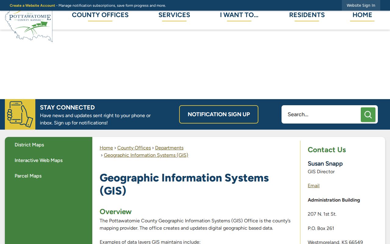
The separate GIS route keeps an eastern Manhattan block from being mistaken for a missing Riley parcel.
Map a Manhattan Block Parcel by Parcel
Riley GIS has no documented radius-search button. Build the block by browsing and clicking each touching parcel. Turn on parcels, address points, parcel numbers, lots, dimensions, subdivision boundaries, wards, and useful district layers. Popup controls help where shapes overlap.
- Search the target address and confirm its parcel ID, physical address, legal description, and county.
- Zoom to the block. Click each touching parcel and record the source date.
- Capture owner, mailing line, lot and block, subdivision, class, and parcel identifiers.
- Compare the property card. Treat a matching mailing line as a clue, not proof of occupancy.
- Use deeds only for a transfer, easement, plat, or legal-description question.
The measure tool can estimate distance or area, but it is not a legal survey. For every address along the road, shift to the Manhattan street directory workflow.
Read Manhattan Parcel Fields Carefully
The Riley layer includes owner, physical address, mailing address, ZIP, legal description, lot, subdivision, book and page, class, and value fields. Similar labels answer different questions. A physical address locates land; a mailing line routes notices; a legal description identifies the tract.
- Parcel
- A mapped unit of land with a county identifier.
- Situs address
- The physical property address, which may differ from the owner's mail address.
- Legal description
- The formal lot, block, subdivision, or survey wording used in land records.
Keep the fields separate. Combining them into one contact record can turn a sound lookup into a false claim about your neighbors.
Manhattan Neighbor Voter-File Limits
Kansas VoterView takes a name and date of birth. It has no public block filter. Under K.S.A. 25-2320, county voter books may be inspected or copied during regular hours under supervision, with identification numbers removed. Copy requests may use county, district, or party selections, but files vary in age.
The Riley County Clerk is the local custodian. Safe at Home records are protected. A registration entry can place a named voter at an address; it does not list all occupants or create a block contact list.
Manhattan's 19 Neighborhood Associations
The city planning report recognizes 19 associations coordinated through the Neighborhood Coalition Group. They include City Park West, East Park, Eugene Field, Humboldt West, Landmark Water Tower, South Manhattan, Western Lee Heights, and homeowner groups. Recognition does not prove each is active today, and no public member directory was found.
| Community channel | What it can confirm | Contact |
|---|---|---|
| Planning and Development | Association registered for a parcel or project area | 785-587-2412 |
| Neighborhood meeting packets | Group notified about a project and public participants in context | City Archive Center |
| RCHS and RCGS | Historic clubs, directories, and neighborhood records | Public contact; no member roll found |
Ask the city which group covers the parcel, then use its public contact. Do not assume a resident belongs because a map places the home inside a boundary.
Manhattan Block History in City Packets
The Manhattan Archive Center can reveal names in planning, historic-resources, cemetery-board, and commission packets. Search a street phrase with a date range, then read the original PDF around the hit. A name proves participation in that matter, not residence.
The successful archive capture shows the public category and date route.
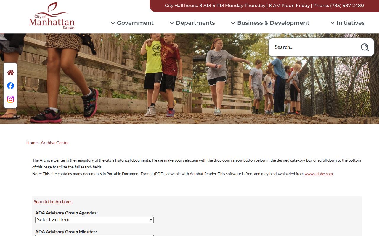
Historic files add photos and property context for Yuma Street or Houston-Pierre. Yuma Street is a historic African-American community, but that label must not be used to infer anyone's identity.
Official Manhattan Neighbor Records
Commercial neighbor tools blend public, licensed, and marketing data. They can be stale, hide sources, and charge for access. Official records are narrower, but each has a custodian, date, and defined meaning.
| Source type | Strength | Main limit |
|---|---|---|
| County and city records | Traceable custodian and date | No one source names a whole household |
| Library and archive records | History and address clues | Gaps and possible visit |
| Commercial category | Combined display | Source, age, and match may be unclear |
Adjacent parcels, a shared surname, or a common mailing address do not establish a household relationship.
Free access also has several forms. The county map is useful for visual context, but a property card may provide a cleaner parcel summary. A courthouse terminal can reach an indexed land record that a casual map search cannot show. Library and historical-society staff can point to older street sources when a current portal ends. Paid access does not make a combined result more accurate by itself. A source citation, record date, and matching legal description carry more weight than a polished screen.
Privacy Limits for Manhattan Neighbors
Parcel data generally names owners, not renters, children, visitors, or every adult in a home. Utility lists and delivery data are not public resident rolls. Safe at Home shields qualifying addresses, and voter ID numbers are removed from public copies. Private rosters held by a congregation, civic club, homeowner group, or block watch do not become public because the group serves a neighborhood.
Use block records for civic curiosity, personal safety awareness, or to find the right public group. Contact people through ordinary, respectful means. If a record seems wrong, return to its custodian and date.
Community rosters need equal care. Churches, fraternal groups, clubs, homeowner groups, and block watches may preserve private lists, but no complete public Manhattan membership directory was found. A public board notice can name a speaker or contact in the context of one meeting. It should not be stretched into a claim that the person still lives nearby or represents everyone on the block. Historic yearbooks and K-State archives likewise belong to their own dates and institutions.
Lawful use. Manhattan neighbor records are for lawful personal research. Never use them to watch, intimidate, harass, or harm another person.
Accuracy begins with geography. A Manhattan mailing line can describe a parcel beyond the city boundary, and a city parcel can fall in either Riley or Pottawatomie County. USPS ZIP codes are delivery areas, not proof of city or county jurisdiction. Confirm the parcel in the correct GIS system, then retain the county, parcel ID, situs address, mailing address, subdivision, lot, block, and legal description. The situs address marks the physical parcel; the mailing line may belong to an owner somewhere else.
Map tools also have limits. Riley GIS includes parcel, address-point, tax, ward, subdivision, and other layers, plus measure and print controls. A drawn distance is not a legal survey, and a ward boundary does not define a private neighborhood. Pottawatomie GIS becomes the proper tool when the block crosses the county line. If a parcel will not load, use the appraiser or tax search, request a property record card, or ask staff to locate the legal description.
Voter information is narrower still. VoterView checks an individual registration with an exact name and date of birth. A copy of the public voter file follows K.S.A. 25-2320 and excludes Social Security, driver's-license, and nondriver ID numbers. Commercial use is prohibited. Safe at Home can substitute a protected mailing address for a qualifying survivor. Those limits mean an apparent gap on a block should never be filled by guesswork.
For a community connection, use the association inventory and public meeting record rather than compiling a private roster. Manhattan planning material identifies 19 recognized neighborhood associations and the Neighborhood Coalition Group, but boundaries and activity can change. Check the latest city packet, association contact, or meeting notice. A public contact name shows a role at that date, not everyone who shares the street.