
Manhattan Previous-Resident Sources
No single roll lists everyone who occupied a Manhattan home. The strongest search moves from a current parcel to recorded transfers, then adds sources that can name occupants rather than owners. Riley County covers most of Manhattan, but eastern addresses may fall in Pottawatomie County. Check the county before choosing a deed office. The table shows each verified local span and its main limit.
| Source | Years It Covers | Where Held | What It Shows |
|---|---|---|---|
| Riley deed and land index | County advertises records from 1853 | Register, terminal, remote subscription | Grantor, grantee, date, instrument, legal description |
| Pottawatomie land records | Office states 1856 | Westmoreland office, RMIS, requests | Alternate-county deeds; web route guarantees only last deed |
| Riley tax books | 1862-1920 | Riley County Historical Society | Assessed owner, value, and parcel clues |
| Local directories | Selected volumes from 1884-85 through 1998 | RCGS, RCHS, library, KSHS | Names, addresses, occupations, with gaps |
| Telephone directories | 1919-2012 | RCGS and library | Subscriber, address, phone clues |
| Sanborn maps | 1905, 1912, 1923, 1930, 1947 | KSHS, K-State, libraries | Building footprint and use, not occupants |
For a recent transfer, begin with the parcel and deed index. For a mid-century household, place a deed beside a directory or telephone book. For an older building, the legal description, tax book, plat, and Sanborn sheet can carry the search across a changed street number. The county's property research guide connects those channels.
Start With Manhattan's Current Parcel
Open Riley County GIS and search the exact physical address. Save the parcel ID, Quick Reference ID, legal description, subdivision, lot and block, current owner, and mailing line. These stable identifiers matter when a street string changes. The property layer also exposes book and page clues, taxing unit, parcel class, and recorded values, though the map is not a certified property record card.
Use the appraiser record or valuation notice to confirm the map. Separate the owner's mailing address from the property address. A match can suggest owner occupancy, but it does not prove who else lives there. If GIS fails, the appraiser counter and property-record-card request are the fallback.
Manhattan Deeds Cross County Lines
Riley's Register of Deeds advertises land records back to 1853, with indexes and images through remote subscription. Public terminals and staff help remain available. Exact live fields and image prices sit behind the subscription gate, so confirm the current fee schedule before ordering. The office also supplies deed, mortgage, and legal-description copies.
A Manhattan parcel in Pottawatomie County follows a separate path. Its Register of Deeds states 1856 and warns that online access does not build a full chain. Requests may go by phone, fax, mail, email, or in person. Staff answer simple questions but will not do an in-depth search. Riley's courthouse locks Friday at noon, so call ahead for a Friday-afternoon visit.
Trace Manhattan's Deed Chain Back
A chain of title is the linked series of recorded transfers for the same land. Work backward from the known owner, not forward from a guessed former name. Save each date, party, instrument number, book and page, and legal description. Trust, estate, survivorship, quitclaim, and correction deeds may change the party trail without being ordinary sales.
- Copy the current owner, parcel number, and legal description from GIS or the property card.
- Find that owner's purchase deed by searching the owner as grantee, the party receiving the land.
- Record the grantor, the party transferring it, with the date and instrument reference.
- Search that grantor as an earlier grantee. Repeat while the legal description matches.
- Move to public terminals, deed books, microfilm, or staff when remote images stop.
- Grantor / grantee
- The grantor transfers an interest; the grantee receives it.
- Chain of title
- The linked sequence of transfers affecting the same parcel.
- Legal description
- The lot, block, subdivision, or survey description that survives street changes.
Manhattan's 1908 Address Puzzle
Historic Manhattan addresses do not always match today's grid. On the circa-1885 plat, Sixth had been Fifth, Fifth had been Fourth, Fourth had been Third, and Third had been Second. Fort Riley Boulevard appeared as Eliza Street. Fair Lane and Riley Lane began as unnamed alleys behind El Paso and Pottawatomie.
Postal delivery drove numbered homes in 1900, and a 1908 city effort corrected street names and block numbers. One account places an old 400 block of Humboldt in the later 500 block. When past residents vanish, search both names and likely numbers, then match the lot, subdivision, and nearest fixed landmark through the historic city survey.
Map the Manhattan House Itself
Sanborn maps test whether the same building stood on a parcel across directory years. Local research identifies sheets for 1905, 1912, 1923, 1930, and 1947. A sheet may show footprint, construction type, use, outbuildings, and street number. It cannot name a resident. Compare its block and lot with the deed before treating two addresses as one place.
K-State Hale Library and University Archives has Sanborn microfilm. KSHS and library sources add other routes. City permit summaries can date newer work, while an older permit card may require a request. This physical record can explain a gap without inventing an occupant.
Previous Residents Beyond Deed Owners
A directory can place a subscriber, spouse, boarder, or business at the property between deeds. RCGS documents selected Polk volumes, early Blue Books, rural directories, and telephone books through 2012. A complete separate criss-cross run was not verified, so ask whether a volume has a reverse street section. The collections are detailed on the Manhattan city directory page.
Pair annual directory clues with a federal census, a once-per-decade household snapshot released under the National Archives rule. Then use newspapers, the obituary index, cemetery records, or probate when a household leaves after a death. An obituary shows family ties; a deed proves a transfer. Neither alone proves occupancy.
- Choose a directory year near a deed or tax-book date and copy the address exactly.
- Check the closest public census, allowing for old street names and enumeration boundaries.
- Compare household members, occupations, and nearby names without forcing a same-name match.
- Bridge the next gap with telephone books, newspapers, probate, and obituaries.
Lawful use. Research Manhattan previous residents for house history, genealogy, or personal curiosity. Never use an address trail to watch, harass, or harm a living person.
Rebuild Manhattan's Flood-Era Trail
The 1951 flood damaged about 220 downtown blocks and caused major loss at Manhattan Public Library. A missing book or address entry is not proof that a household was absent. Rebuild the period with surviving tax books, plats, historical-society files, newspapers, deeds, and directories published before and after the flood.
The library microfilm index lists local papers from the 1870s onward and an obituary index for 1957-1975. Search sales, moves, rebuilding reports, deaths, and legal notices. Save the title, date, page, and reel because text scans can misread names.
Manhattan Previous-Resident Research Desks
Riley County Historical Society holds tax books, maps, directories, newspapers, court and city-clerk files, obituaries, census material, and family records. Its library research is by appointment. Riley County Genealogical Society adds volunteers and exact directory runs. Manhattan Public Library keeps directories, microfilm, and its Kansas History Cabinet for in-library use.
Bring current and former address strings, the parcel and legal description, known names, target dates, and citations already found. Ask the Register for an instrument, the historical society for a collection, and the city for a permit. No one office holds every previous resident.
The successful county-linked land-record portal capture shows the remote deed access point used for Riley research.
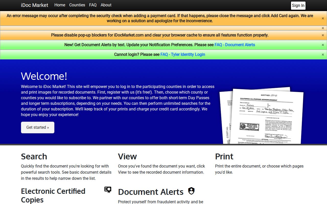
The subscription entry makes the public-terminal and office-copy routes important when a deed image is not available without an account.
Choose the desk by the missing link. The Riley Register of Deeds can explain public-terminal access, document numbers, copy methods, and the current 2026 fee schedule. Pottawatomie County's recorder maintains its official books in Westmoreland and states that staff will not search open mortgages or build a chain of title. That means the researcher must follow each earlier grantee as a later grantor and save every book, page, instrument number, and legal description.
For the structure rather than the owner, ask Manhattan Risk Reduction about permit summaries and the OPAL portal. The county property-research guide also points to the Ward and Lot map at City Hall. A historic ward or lot can bridge an address to city minutes and plats when modern street text fails. Riley County Historical Society's 1881 and 1909 plat books and its Manhattan Historical Survey files can then supply block context.
Older occupants may require a different combination. Compare the nearest available Polk or telephone directory with a released census schedule, a tax-book year, and a newspaper notice. The city burial locator for Sunset and Sunrise can provide a plot clue before an eligible person requests a restricted KDHE death certificate. An obituary proves that a notice was published; a cemetery entry records an interment; neither proves that the person owned the house. Keep each role and date separate.
End with a short evidence log: address string used, parcel identifier, legal description, named person, role, record date, custodian, and the next source checked. This prevents a deed owner, directory occupant, voter, and obituary subject from being merged merely because their names resemble one another.